
- This event has passed.
A Review of Irish and Worldwide Historic Maps – Leslie Brown
October 11, 2023 @ 6:30 pm - 7:30 pm
A historic or antique map is an object of beauty, nostalgia, and importance. It can help to create links between the physical and conceptual places in which we live, both those of the past and today.
The maps reflect the extent of knowledge at a certain time and exhibit the overall development of a country or area. Ireland was an important part of the British Empire in the 17th, 18th, and 19th centuries. This influenced the wide range of Irish maps produced and the attention paid to Ireland by the foremost mapmakers of the time.
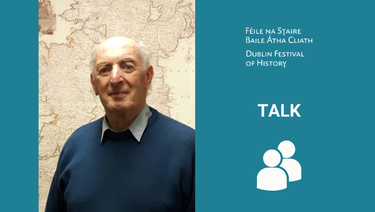
Leslie Brown is a graduate in civil engineering from Trinity College Dublin and Imperial College London. He has been engaged in the collecting of digital images of historic maps for over 30 years. The collection now exceeds 40,000 map images, including an extensive archive of Irish maps and a unique collection of worldwide historic atlases.
No booking required.